
Places
Every location in the state of San Andreas — the sun-bleached city of Los Santos, the desert badlands of Blaine County, every named neighborhood, satellite town, landmark, safehouse and wilderness area. From Vinewood Boulevard to Mount Chiliad, Vespucci Beach to Sandy Shores, this is the complete map of GTA V's open world.
Browse by Type
7 typesNeighborhoods
All 41 named neighborhoods of Los Santos — from upscale Rockford Hills and Vinewood Hills to the gang-controlled streets of Strawberry, Davis and Chamberlain Hills.
Towns
The five rural settlements of Blaine County and the outskirts — Sandy Shores, Paleto Bay, Grapeseed, Harmony and Stab City.
Landmarks
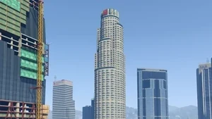
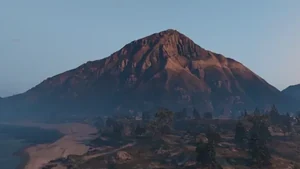
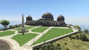
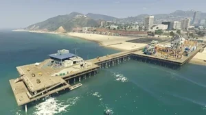
28 iconic landmarks scattered across San Andreas — the Vinewood Sign, Maze Bank Tower, Mount Chiliad, the Galileo Observatory, Del Perro Pier, El Gordo Lighthouse and more.
Locations
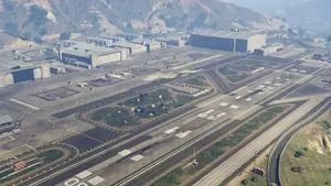
Specific buildings, businesses and points of interest — the Union Depository, Los Santos International Airport, Fort Zancudo, Pillbox Hill Medical Center, and 24 more indexed sites.
Safehouses
The protagonist properties used as save points and equipment lockers — Michael's Mansion in Rockford Hills, Franklin's Vinewood Hills house, Trevor's trailer in Sandy Shores and the four purchasable homes.
Regions
The major geographic regions of the state — the city of Los Santos, rural Blaine County, the southern Los Santos County, the East Coast peninsula and the offshore Pacific Ocean zone.
Wilderness
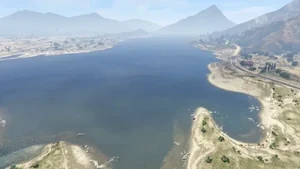
Mountains, canyons, beaches, deserts and the Alamo Sea — the unsettled natural areas covering most of Blaine County, including Mount Chiliad State Wilderness, Raton Canyon and the Tongva Hills.
Featured Locations
View all landmarks →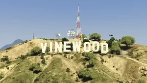

Notable Places
Iconic Landmarks
Major Settlements
Safehouses
Story Hotspots
Wilderness & Regions
About San Andreas
San Andreas is the fictional U.S. state that serves as the entire setting of Grand Theft Auto V. Modelled loosely on Southern California, it spans roughly 49 square miles of explorable terrain — the largest open world Rockstar had built at the time of release and still one of the most densely detailed in the medium.
The state divides into two main halves. Los Santos — a parody of Los Angeles — fills the southern third with its 44 named neighborhoods, ranging from the gleaming Rockford Hills mansions to the working-class Strawberry blocks, from the Vinewood tourist strip to the LSIA runways. North of the city lies Blaine County, a sun-bleached desert region of small towns like Sandy Shores and Paleto Bay, the Alamo Sea, the forested Mount Chiliad State Wilderness, and the heavily-guarded Fort Zancudo military base.
The map's geographic centerpiece is Mount Chiliad — the 2,619-foot peak that dominates the northern skyline and houses the infamous Chiliad Mystery mural. Other iconic landmarks include the Maze Bank Tower (the tallest building in the state), the Galileo Observatory overlooking the city, and the Del Perro Pier with its working Ferris wheel.
The three protagonists each live in a different corner of the map: Michael in his Rockford Hills mansion, Franklin initially in his aunt's Strawberry house and later in a Vinewood Hills mansion gifted by Lester, and Trevor in his Sandy Shores trailer. The geographic spread reinforces the story's class-and-culture contrast — old money in the hills, poverty in the south of the city, and meth-lab anarchy out in the desert.